


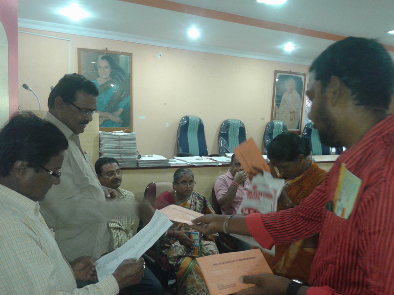
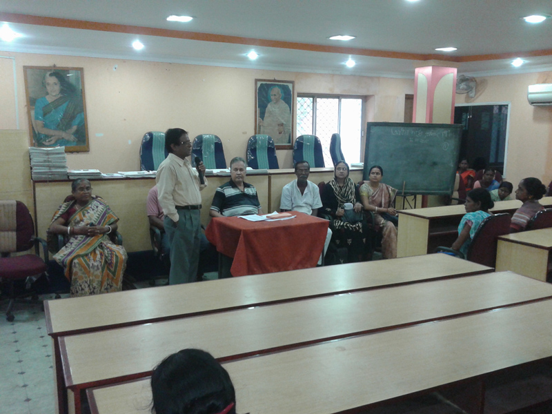
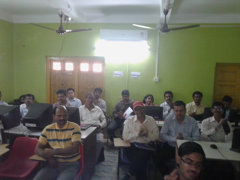

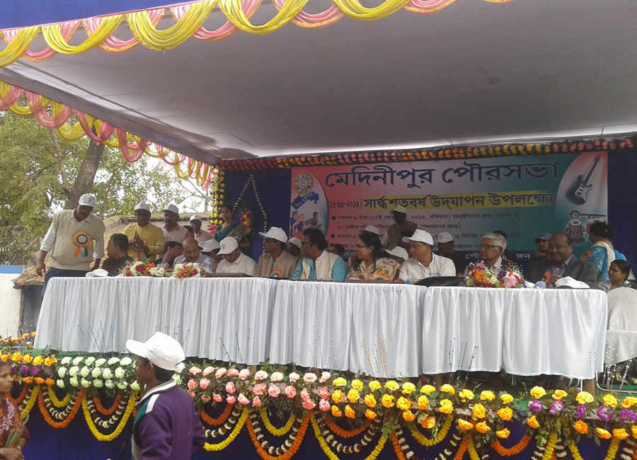
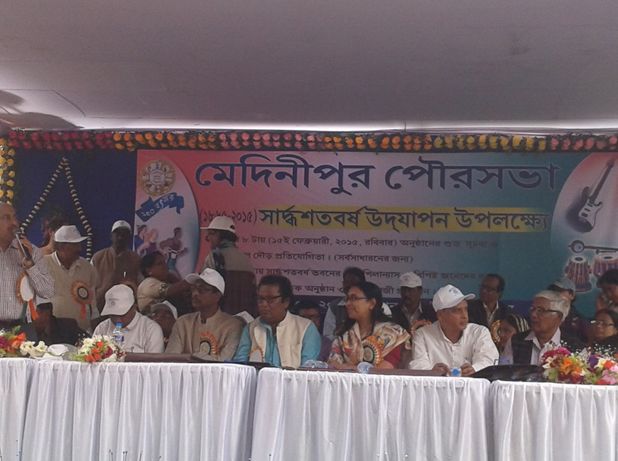
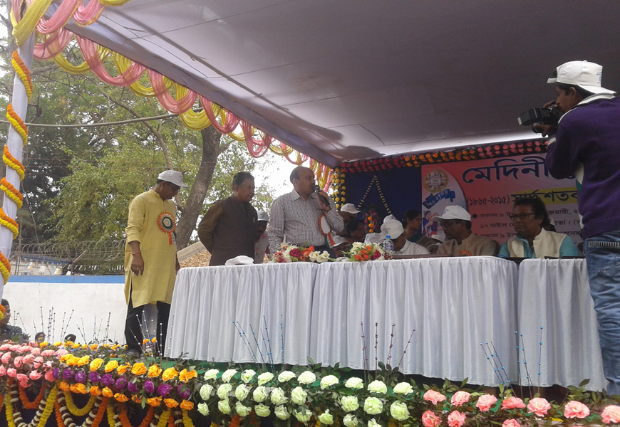
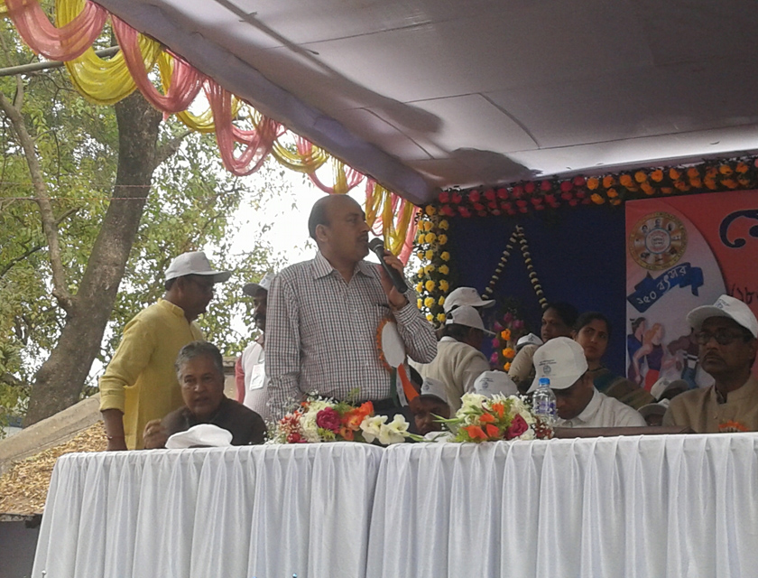
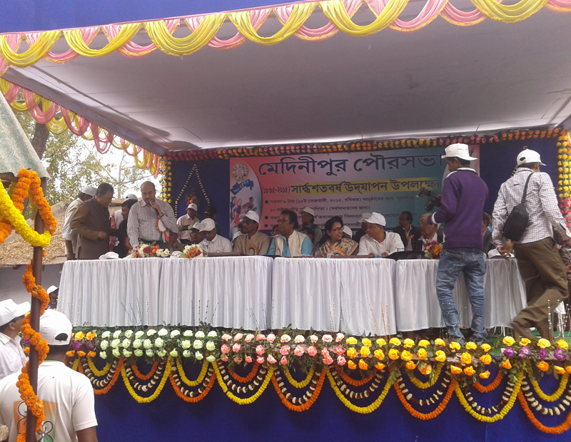
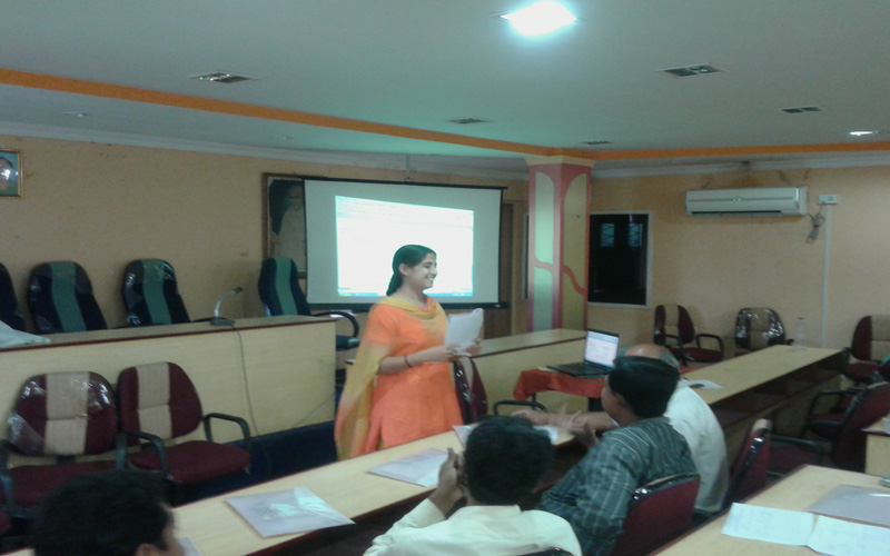


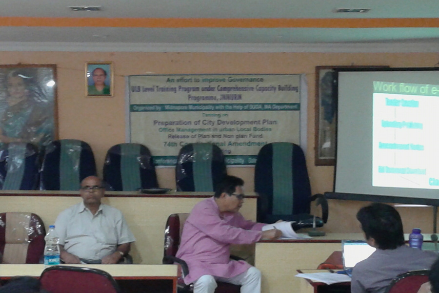
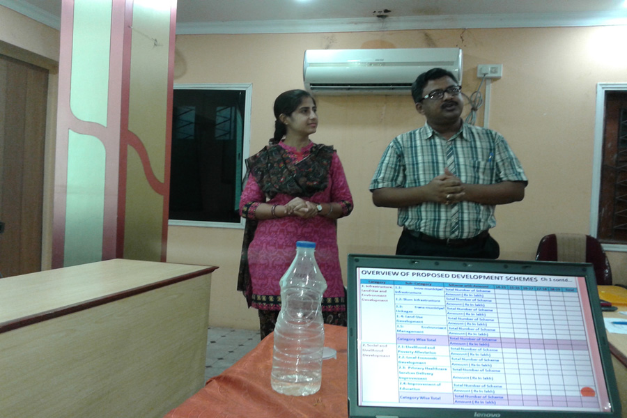
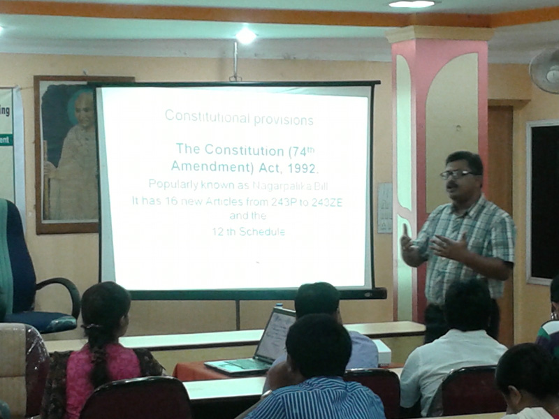

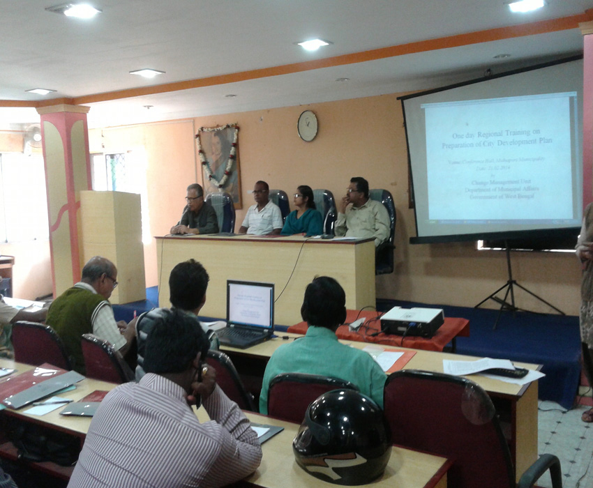
History Of Midnapore
Midnapore (also written as Medinipur and Midnapur) is a town in West Bengal, India. The city is the headquarters of, and gives its name to, the Paschim Medinipur district of the state of West Bengal. The town also gives its name to a subdivision of the district. The town used to belong to the Midnapore District until the Partition of Midnapore. The Partition of Midnapore was the administrative breakup of the Midnapore District of West Bengal, India into the western part as Paschim Medinipur and the eastern part as Purba Medinipur districts that became effective on January 1, 2002. With the division of the district, the subdivisions of Medinipur Sadar, Kharagpur, Jhargram, and Ghatal were placed in Paschim Medinipur, with Midnapore, now the district headquarter of only the western half. The undivided Midnapore district had been, at one time, the largest district in West Bengal and indeed, all of India.
It is situated on the banks of the Kangsabati River (variously known as Kasai and Cossye). On the opposite bank of the river is the industrial and railway hub Kharagpur. The bank of Kangasabati River is great for sightseeing and fishing and a popular destination for picnics during the Christmas and New Year's breaks. Unfortunately the bank is being eroded by new construction, brick-kilns and new communities.
Origin of the name
There are conflicting accounts of how the name Medinipur came to be. One account claims that Medinipur was named after a local deity "Medinimata" (literally "mother of the world", a Shakti incarnation). Another account claims that Midnapore was so named because in the heyday the number of mosques rivalled those in Medina.
Historical Overview
A number of prehistoric sites of great interest are being excavated throughout the West Midnapore district. In ancient times the region seems to be highly influenced by Jainism and Buddhism. Coins issued by Samudragupta have been found in the near vicinity of the town. The kingdom of Shashanka and Harshavardhana included what is now Midnapore.
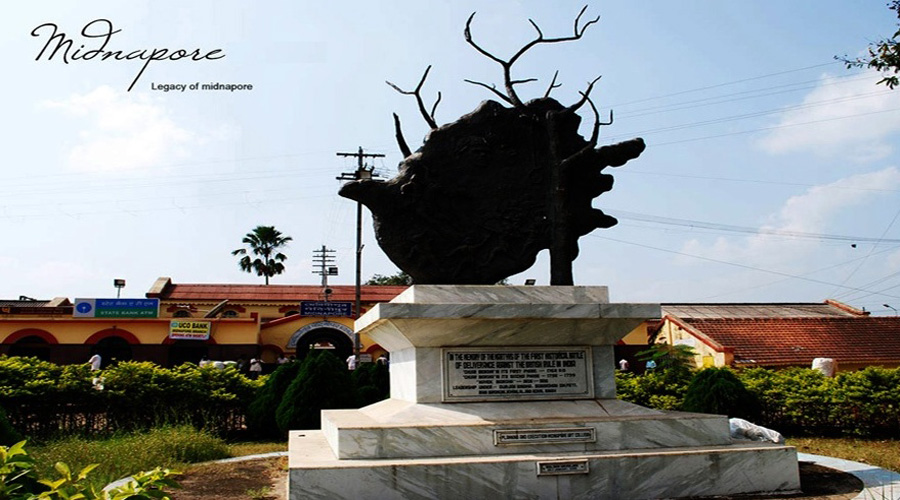
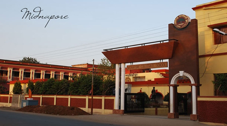
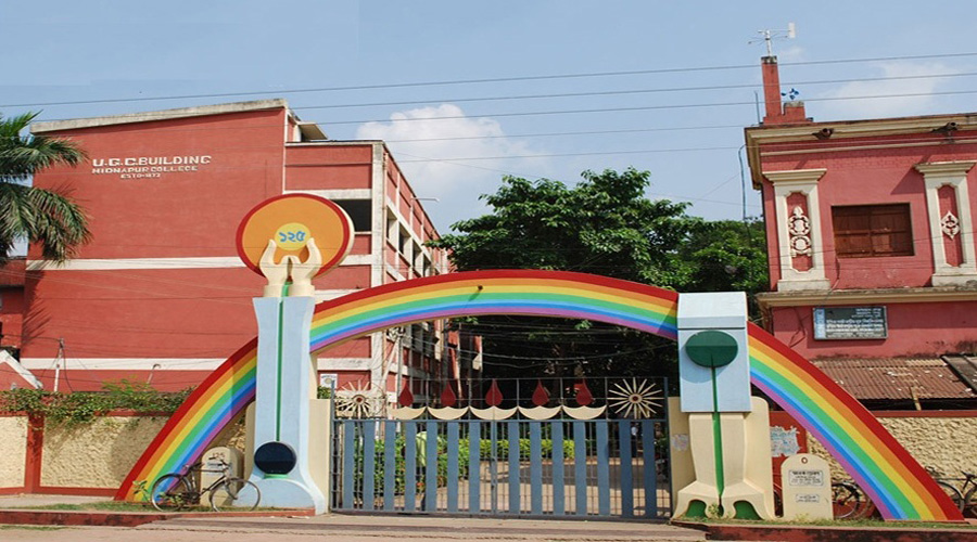
Midnapore is famous for its contribution in the history of Indian freedom movement since it has produced a seemingly endless list of martyrs. During the British Raj the town became a centre of revolutionary activities starting from the Santal Revolt (1766-1767) and the Chuar Revolt (1799). The Zilla School, now known as Midnapore Collegiate School was the birthplace of many extremist activities. Teachers like Hemchandra Kanungo inspired and guided the pupils to participate in the Indian Freedom Movement. Three British District Magistrates were assassinated in succession by the revolutionaries Benoy Basu, Dinesh Gupta, and Badal Gupta. Dalhousie Square, a major location in Kolkata is named B.B.D. Bagh in their honour. Khudiram Bose and Satyendranath Basu were some of the young men that laid down their lives for the freedom of India. Kazi Nazrul Islam attended political meetings in Midnapore in the 20s. Even Raja Narendra Lal Khan, ruler of Narajole, who donated his palace on the outskirts of town, for the establishment of Midnapore's first college for women, had been implicated, (although it turned out to be false) for planting a bomb. Not only Hindu activists but Muslim statesman originated or spent time in Midnapore. Huseyn Shaheed Suhrawardy founder of the Awami League, a prominent political party in Bangladesh, and the sixth President of Pakistan hailed from a prominent family of Midnapore.
Climatic Condition
The climate follows a hot tropical monsoon weather pattern. Summers last from April to mid-June with diurnal highs ranging from the upper 30s°C to the mid 40s°C and lows in the low 30s°C. However extensive daily heat is often followed by evening rains known as kalboishakhis or dust-storms (loo). Monsoon rains can last from mid-June to late August or even September with rains from the southeast monsoon typically contributing the lions-share of the annual rainfall of around 1500 mm. Winters last for 2 to 3 months and are mild; typical lows are from 8 °C - 14 °C.
Geography
Midnapore is 23 metres above sea-level. Soils near the Kangsabati River are alluvial with a high-degree of clay or sand depending on the locality; whereas soils towards Rangamati are essentially lateritic. Vegetation is essentally same of that common to South Bengal with extensive eucalyptus and sal forests on Northwest side of town. In fact the sal forests form part of the Dalma Bengal-Jharkhand Range. Arabari, the forest range which was the site of India's first Joint Forest Management scheme is only 30 km away. The Midnapore town covers an area of 18.36 sq. kms. surrounded by the Cassai river on the south, Panchkuni 1 and Panchkuni 2 G.P. on the west, Siromoni G.P. on the north and Kankabati G.P. on the eat.